
In preparation for my Balazar game, set in the legendary realm of Glorantha and inspired by the 1980s edition of RuneQuest, I printed off the colour maps from the “Argan Argar Atlas“. As Balazar is split across four maps, I had to assemble a copy of the map from those sections. It was a bit fiddley – the maps don’t entirely line up – but I was pleased enough with the outcome.
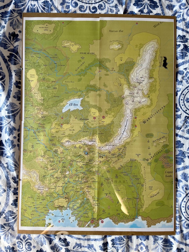
Yesterday, I popped the whole thing in an A2-sized “frame”. More accurately, it’s behind a piece of A3 Perspex mounted on an MDF backboard and held together with clips. It’s good enough for what I want. The plan is to mark the progress and movement of the group on the map using drywipe pens.
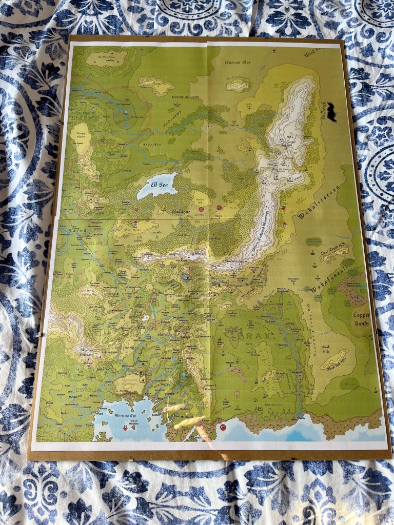
What I like about the Argan Argar Atlas is that is has a (very small) hex grid and is to scale at 1 hex to 5 miles. This means I can more accurately track movement and relative distance than using the original unscaled regional map from Griffin Mountain. The map also sets Balazar in the larger context and encourages me to think outside of the boundaries of the original.
All in all, I am encouraged and found the final product pleasing enough to the eye that it is inspiring ideas for play.
Game on!

That’s a really cool idea. I like that you can mark or write on it, then erase stuff when the game or campaign is over!
LikeLiked by 1 person
Might be a good idea to occasionally take a photo of your progress. Hate for you to lose info from accidental brushing past or wiping of your drawings/markings.
Imagine how I know this can happen!
LikeLiked by 1 person